Active travel in numbers
We employ a range of methods to count how many people are walking, wheeling or cycling across Angus.
Temporary and permanent counters capture the numbers of people using particular routes. This helps us measure the effectiveness of the creation of new paths and improvements while highlighting other possible upgrades.
Manual counts and surveys also provide vital information on who uses the routes, and why.
This page provides some information on recent counts and live feeds to permanent counters currently operating across Angus.
Permanent counters
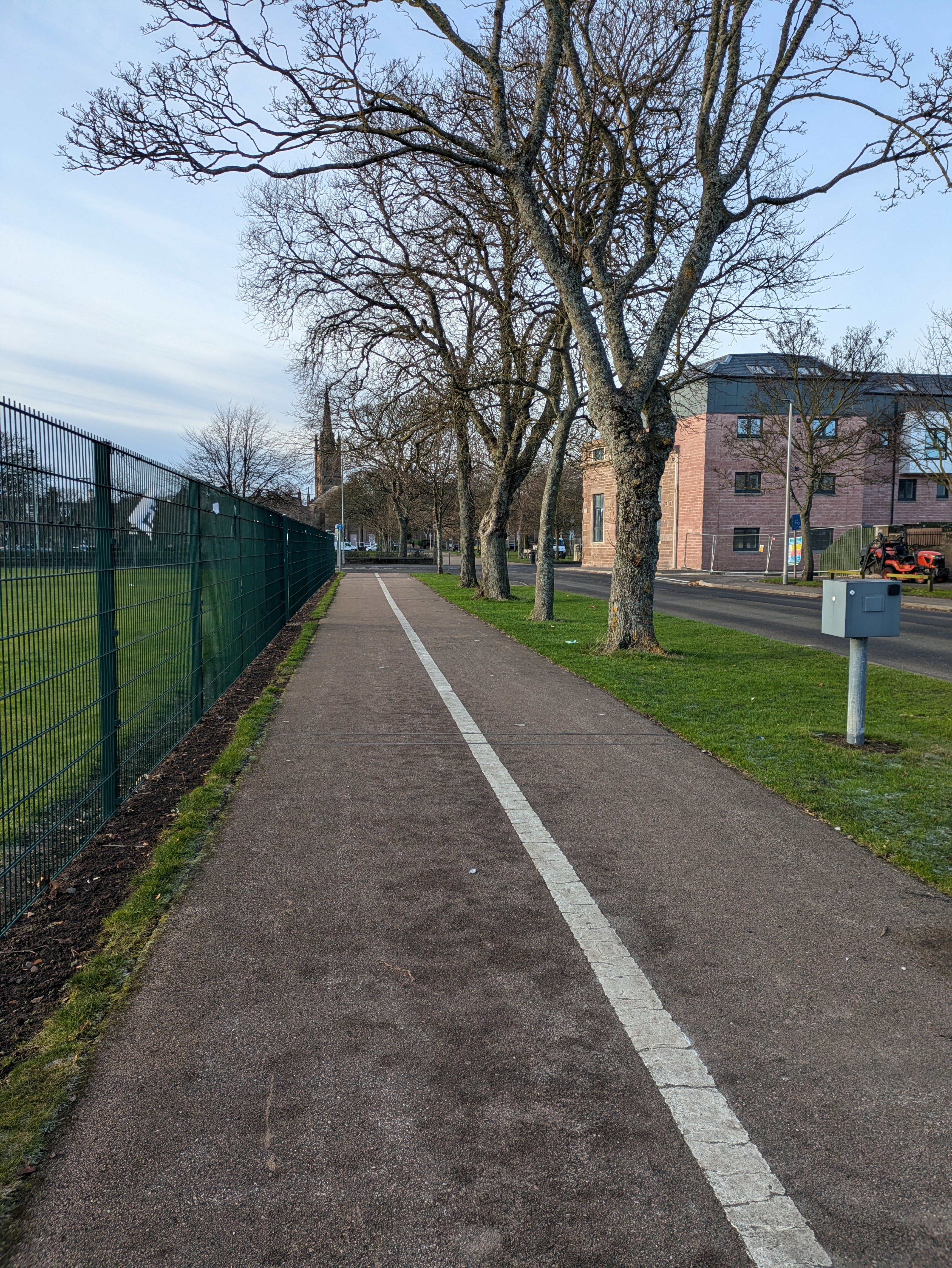 Marine Avenue, Montrose
Installed in June 2021 this counter is located on a shared use path that runs from the sports centre to the Academy. It is also a link towards the GP surgery and onto the NCN1.
Keptie Road, Arbroath
This counter has been counting cycling numbers since May 2017 and is located on the advisory cycle lane running east towards the college, train station and town centre.
The Dammy, Arbroath
Located at the start of the path leading from Wardmill Road, this counter was installed in September 2026 and provides valuable data on those using the route since the improvements in width, surfacing and drainage carried out in 2025 - 2026.
Ladyloan and Lordburn, Arbroath
As part of the pre-construction monitoring and evaluation carried out by the Walk Wheel Cycle Trust (formerly Sustrans), temporary counters were located along the A92. This provided numbers of people using the route prior to the Places For Everyone project works taking place. Permanent counters are now located at Lordburn and Ladyloan providing active travel numbers at these locations.
Forfar Loch, Forfar
Situated on a path that runs south of the caravan and motorhome park and connects to the loch path via the Strathmore Cricket Club, this counter has been recording pedestrian and cyclist numbers since June 2021.
To measure walking and cycling numbers of people using the path around the loch, counter was installed next to the new bridge that was installed in 2026. This counter has been capturing active travel numbers since September 2026.
NCN1, Carnoustie
Located at the signals that prioritise active travel on the bridge over Barry Burn on National Cycle Network route 1 (NCN1), this counter has been capturing data on this section of the route since January 2026.
Periodic and temporary survey data
Arbroath has seen a series of annual counts at:
These take place over 24 hours on two dates, typically in the spring and autumn. The monitoring equipment captures cars/taxis, goods vehicles, pedestrians, buses/coaches, motorcycles and cyclists at these locations.
Some of these counts have been taking place since 2017.
Previous years' data is available on the Cycling Open Data Portal managed by Cycling Scotland.