Cycle Routes

Share Cycle Routes on Facebook Share Cycle Routes on X (formerly Twitter) Share Cycle Routes on Linkedin Email Cycle Routes link

We are constantly improving and creating new cycle paths and will update these here as and when new routes are developed.
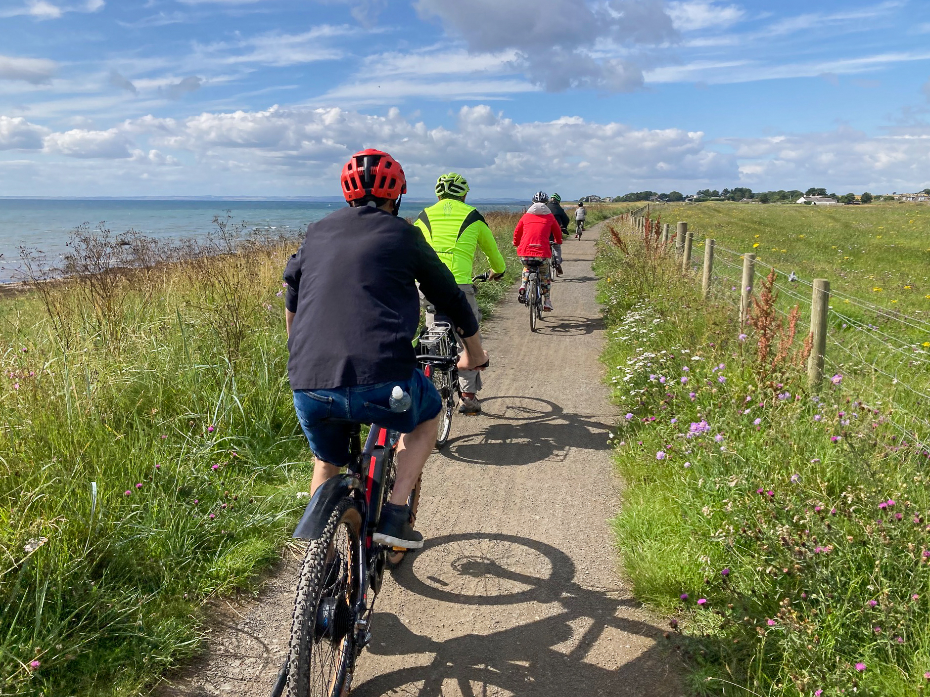
Leisure and recreational

The routes have been developed by the Angus Cycle Hub and feature places to eat and stay in the areas detailed. They are mostly circular routes and are graded easy, moderate and difficult and allow you to improve your confidence and fitness.

Peter Pan to Reekie Lin

  • Grade: Moderate
  • Duration: 3 hours
  • Length: 32.5km/20.2 miles

Montrose to Edzell (via Fettercairn)

  • Grade: Moderate/Difficult
  • Duration: 6-7 hours
  • Length: 66km/41miles

Glen Clova Circuit

  • Grade: Easy/Moderate
  • Duration: 3-4 hours
  • Length: 30.5km/19 miles

Glamis Loop

  • Grade: Easy
  • Duration: 3 hours
  • Length: 29km/18 miles

Montrose Basin Circuit

  • Grade: Easy/Moderate
  • Duration: 2-3 hours
  • Length: 32.5km/20 miles

Rural Angus Circuit

  • Grade: Easy/Moderate
  • Duration: 2-3 hours
  • Length: 32.5km/20 miles

Carnoustie to Forfar

  • Grade: Moderate/Difficult
  • Duration: 4-5 hours
  • Length: 53km/38 miles

Carnoustie to Crombie Park

  • Grade: Moderate
  • Duration: 4-5 hours
  • Length: 46.5km/28.4 miles

Arbroath to Montrose

  • Grade: Moderate
  • Duration: 4-5 hours
  • Length: 55km/33 miles


Whilst Angus Cycle Hub & Angus Council have made every effort to ensure the accuracy of this information, they cannot be held responsible for any changes that may take place on the routes, any errors in the route cards, nor for any accidents or injuries sustained whilst following the routes. Cyclists must take personal responsibility for their own safety. We acknowledge the support of Angus Cycle Hub volunteers in supplying the routes described on these cards and also for supplying photographs.

Ride the North

Ride the North is a single day event which takes participants through the Angus countryside with checkpoints roughly every 15km. It's very much a community event with the stops providing services and refreshments as well as a stamping station. Ride the North provides the opportunity for the community to get involved with 2,000+ hungry cyclists passing through.

As with the previous two years, this year there are two route options of 150km and 110km (93/68 miles).


Do you have any suggestions on how we can improve existing routes, or create new ones or just generally make improvements for walking, wheeling and cycling in your area?

We are constantly improving and creating new cycle paths and will update these here as and when new routes are developed.

Leisure and recreational

The routes have been developed by the Angus Cycle Hub and feature places to eat and stay in the areas detailed. They are mostly circular routes and are graded easy, moderate and difficult and allow you to improve your confidence and fitness.

Peter Pan to Reekie Lin

  • Grade: Moderate
  • Duration: 3 hours
  • Length: 32.5km/20.2 miles

Montrose to Edzell (via Fettercairn)

  • Grade: Moderate/Difficult
  • Duration: 6-7 hours
  • Length: 66km/41miles

Glen Clova Circuit

  • Grade: Easy/Moderate
  • Duration: 3-4 hours
  • Length: 30.5km/19 miles

Glamis Loop

  • Grade: Easy
  • Duration: 3 hours
  • Length: 29km/18 miles

Montrose Basin Circuit

  • Grade: Easy/Moderate
  • Duration: 2-3 hours
  • Length: 32.5km/20 miles

Rural Angus Circuit

  • Grade: Easy/Moderate
  • Duration: 2-3 hours
  • Length: 32.5km/20 miles

Carnoustie to Forfar

  • Grade: Moderate/Difficult
  • Duration: 4-5 hours
  • Length: 53km/38 miles

Carnoustie to Crombie Park

  • Grade: Moderate
  • Duration: 4-5 hours
  • Length: 46.5km/28.4 miles

Arbroath to Montrose

  • Grade: Moderate
  • Duration: 4-5 hours
  • Length: 55km/33 miles


Whilst Angus Cycle Hub & Angus Council have made every effort to ensure the accuracy of this information, they cannot be held responsible for any changes that may take place on the routes, any errors in the route cards, nor for any accidents or injuries sustained whilst following the routes. Cyclists must take personal responsibility for their own safety. We acknowledge the support of Angus Cycle Hub volunteers in supplying the routes described on these cards and also for supplying photographs.

Ride the North

Ride the North is a single day event which takes participants through the Angus countryside with checkpoints roughly every 15km. It's very much a community event with the stops providing services and refreshments as well as a stamping station. Ride the North provides the opportunity for the community to get involved with 2,000+ hungry cyclists passing through.

As with the previous two years, this year there are two route options of 150km and 110km (93/68 miles).


Do you have any suggestions on how we can improve existing routes, or create new ones or just generally make improvements for walking, wheeling and cycling in your area?

  • Please use this space to tell us about what we are doing well and what we could do better when it comes to making improvements for walking, wheeling and cycling. 

    These could be advising us on locations where additional dropped kerbs are needed or telling us about your experience of one of our existing paths!

    Take Survey
    Share Share your views on Facebook Share Share your views on X (formerly Twitter) Share Share your views on Linkedin Email Share your views link